
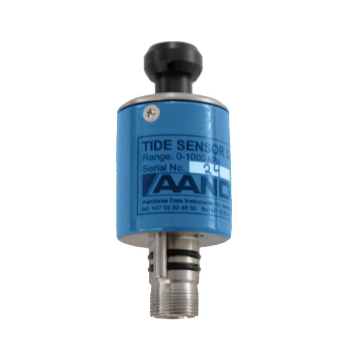
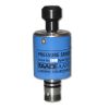
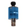
Aanderaa 5217 Tide Sensors
The Aanderaa 5217 Tide Sensor is a compact, fully integrated sensor for measuring tidal conditions in SeaGuardII platforms or external measurement systems using an RS-232 interface.
Features
- Smart sensor technology for plug-and-play interface
- Output parameters: Pressure, Tide Pressure, Tide Level, Temperature
- Depth rating of up to 6000 meters
Your Price
Call
Stock
Check
Availability
Fondriest Exclusives
- Expedited repair and warranty service
- Lifetime technical support
- More
Overview
The Aanderaa 5217 Tide Sensor is a compact, fully integrated sensor for measuring tidal conditions. The sensor is designed to be mounted on the Aanderaa SeaGuardII top-end plate or in other measurement systems using the RS-232 interface. The tide measurement is an average of the hydrostatic pressure measured over a time period of 10 seconds to 8 minutes (integration time is configurable by the user). The update interval is between 1 second and 255 minutes.
Mechanics
The Tide sensor output parameters are Tide Pressure, Tide Level, Pressure and Temperature. Tide levels are preliminary, internally calculated estimates based on fixed, user-selectable values of atmospheric pressure and water salinity. Compensation for actual atmospheric pressure and salinity can be post-processed if such data is available. Tide Pressure is an average of hydrostatic pressure over the integration time.
Data Storage
Since all calibration and temperature compensation data are stored inside the sensor, the parameters are, by default, presented directly in engineering units without any external calculation. The sensor also provides raw data on the pressure and temperature measurements.
Questions & Answers
Select Options
Products
0 Item Selected
Image
Part #
Description
Price
Stock
Quantity

0975217
5217 Tide Sensor with Lemo connector, 0-30m, RS-232 output
Request Quote
Check Availability

0975217A
5217 Tide Sensor with Lemo connector, 0-90m, RS-232 output
Request Quote
Check Availability

0975217B
5217 Tide Sensor with Lemo connector, 0-390m, RS-232 output
Request Quote
Check Availability

0975217C
5217 Tide Sensor with Lemo connector, 0-1000m, RS-232 output
Request Quote
Check Availability

0975217D
5217 Tide Sensor with Lemo connector, 0-2000m, RS-232 output
Request Quote
Check Availability

0975217E
5217 Tide Sensor with Lemo connector, 0-4000m, RS-232 output
Request Quote
Check Availability

0975217F
5217 Tide Sensor with Lemo connector, 0-6000m, RS-232 output
Request Quote
Check Availability
Accessories
0 Item Selected


Notice: At least 1 product is not available to purchase online
Related Products
In The News


