
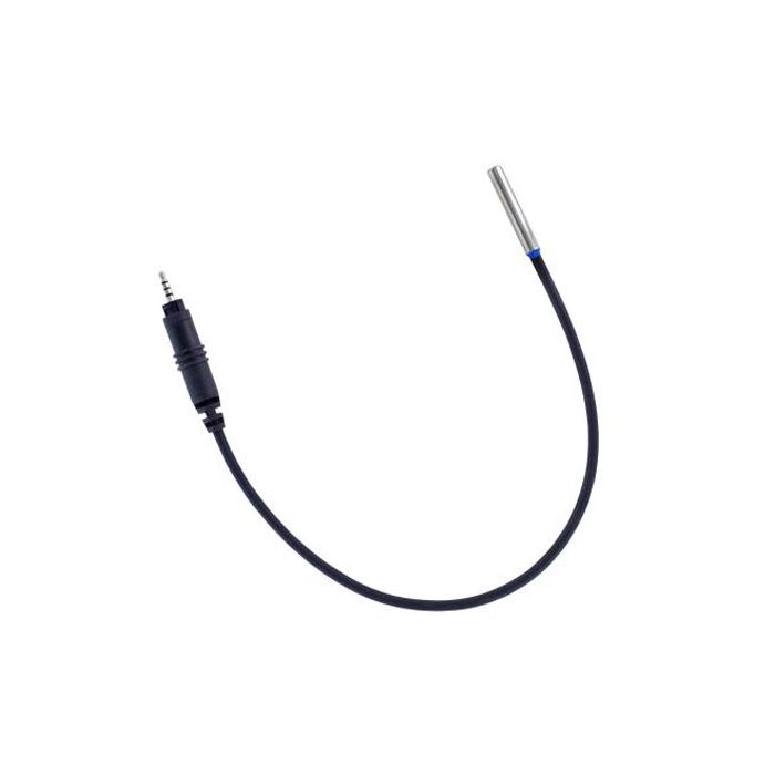
HOBO Self-Describing Temperature Sensor
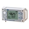
The HOBO self-describing air/water/soil temperature sensor is for use with HOBO MX1104 and MX1105 Multi-Channel Data Loggers.
Features
- Various cable lengths available
- Measurement range of -40° and 100°C
- Integrated strain relief, so the probe is secured to the logger
Starting At
$47.00
Stock
Check
Availability
Fondriest Exclusives
- Expedited repair and warranty service
- Lifetime technical support
- More
Overview
The HOBO self-describing air/water/soil temperature sensor is for use with HOBO MX1104 and MX1105 Multi-Channel Data Loggers. These sensors offer integrated strain relief, ensuring the probe is securely attached to the logger. They feature self-describing technology, which automatically communicates configuration information to the logger without requiring programming or extensive user setup.
- Measurement Range: -40° to 50°C (-40° to 122°F) in water; -40° to 100°C (-40° to 212°F) in air
- Accuracy: ±0.15°C from 0° to 50°C (±0.27°F from 32° to 122°F), insert probe 2.3 cm (0.9 inches) minimum; see Plot A
- Resolution: 0.002° at 25°C (0.003° at 77°F)
- Drift: <0.1°C (<0.2°F) per year
- Response Time in Air: 2 minutes typical to 90% in air moving 1 m/s (2.2 mph)
- Response Time in Stirred Water: 30 seconds typical to 90%
- Operating Range: Sensor tip and cable immersion in fresh water up to 50°C (122°F) for 1 year
- Probe Housing: Copper-plated sensor tip
- Probe Dimensions: 5.1 x 33 mm (0.2 x 1.3 inches)
Cable Lengths:
SD-TEMP-01: 0.3 m (1 ft)
SD-TEMP-06: 1.8 m (6 ft)
SD-TEMP-20: 5.1 m (20 ft)
SD-TEMP-50: 15.2 m (50 ft)
Questions & Answers
Select Options
Products
0 Item Selected
Image
Part #
Description
Price
Stock
Quantity

SD-TEMP-01
Self-Describing Air/Water/Soil Temperature Sensor, 1 ft. cable
$47.00
Check Availability

SD-TEMP-06
Self-Describing Temperature Sensor (Air/Water/Soil), 6ft
$55.00
Check Availability

SD-TEMP-20
Self-Describing Temperature Sensor (Air/Water/Soil), 20ft
$69.00
Check Availability

SD-TEMP-50
Self-Describing Temperature Sensor (Air/Water/Soil), 50ft
$85.00
Check Availability

SD-TEMP-SS-06
Self-Describing Temperature Sensor (Stainless Steel), 6ft
$119.00
Check Availability

SD-TEMP-P-06
Self-Describing Temperature Sensor (Pipe), 6ft
$89.00
Check Availability
Notice: At least 1 product is not available to purchase online
Related Products
In The News


