
HOBO MX2001 Water Level Loggers
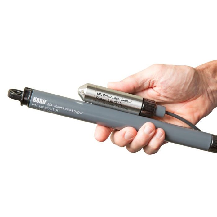
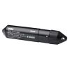
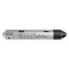
The HOBO MX2001 water level data logger is designed for convenient wireless setup and download from mobile devices via Bluetooth Low Energy. The MX2001 consists of a top-end logger unit and water level sensor.
Features
- Wireless data offload to mobile devices or Windows computers via Bluetooth
- Integrated barometric pressure sensor enables direct water level readout
- Powered by two user-replaceable AA batteries in the top-end unit
Starting At
$780.00
Stock
1
AVAILABLE
Fondriest Exclusives
- Expedited repair and warranty service
- Lifetime technical support
- More
Overview
The HOBO MX2001 water level data logger is designed for convenient wireless setup and download from mobile devices via Bluetooth Low Energy. The MX2001 consists of a top-end logger unit and water level sensor. The logger simplifies and lowers the cost of field data collection by providing wireless access to high-accuracy water level and temperature measurements right from a mobile phone, tablet, or Windows computer, with Onset's free HOBOconnect app. Direct-read cables (sold separately) can be ordered in lengths from 0.2 to 500m for deployment in a wide range of wells.
Benefits
- Integrated barometric pressure sensor enables direct water level readout
- Direct-read cable connects the sensor to top-end logger/transmitter
- Cables are reinforced with Kevlar
- Cables are interchangeable, so loggers are easy to redeploy in future applications
- Cable length can vary up to 3% from the length ordered
- Available cable lengths are 1, 5, 10, 15, 30 and 60 meters
- Reference water level can be entered at the start of the deployment
- Use HOBOconnect for setup, data viewing, and data sharing
- Several logging modes: normal, multi-rate logging and event-triggered burst-logging
- Durable ceramic sensor
- Available with stainless steel or titanium sensor ends
- 3-point NIST-traceable calibration certificate included for the water pressure sensor
- HOBO MX2001 consists of a top-end logger unit and water level sensor
- Two AA 1.5 V batteries
Questions & Answers
Select Options
Products
0 Item Selected
Image
Part #
Description
Price
Stock
Quantity

MX2001-04-SS
HOBO MX2001 water level logger with stainless steel housing, 4m/13' range (cable sold separately)
$780.00
Check Availability

MX2001-01-SS
HOBO MX2001 water level logger with stainless steel housing, 9m/30' range (cable sold separately)
$780.00
Check Availability

MX2001-02-SS
HOBO MX2001 water level logger with stainless steel housing, 30m/100' range (cable sold separately)
$780.00
Check Availability

MX2001-03-SS
HOBO MX2001 water level logger with stainless steel housing, 76m/250' range (cable sold separately)
$780.00
1 Available

MX2001-04-Ti
HOBO MX2001 water level logger with titanium housing, 4m/13' range (cable sold separately)
$825.00
Check Availability

MX2001-01-Ti
HOBO MX2001 water level logger with titanium housing, 9m/30' range (cable sold separately)
$825.00
Check Availability
Accessories
0 Item Selected


Notice: At least 1 product is not available to purchase online
Related Products
In The News


