
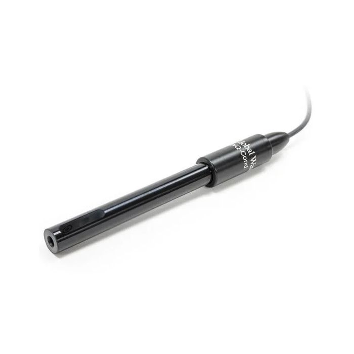
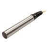
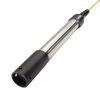
Global Water WQ-COND Conductivity Sensor
The Global Water WQ-COND Conductivity Sensors are suitable for measuring conductivity in a wide variety of applications including laboratories, streams, rivers, and groundwater.
Features
- Fully encapsulated electronics
- 4-20 mA output
- Select from multiple conductivity ranges
Starting At
$1,222.65
Stock
Check
Availability
Fondriest Exclusives
- Free ground shipping
- Expedited repair and warranty service
- Lifetime technical support
- More
The Global Water WQ-COND Conductivity Sensors are suitable for measuring conductivity in a wide variety of applications including laboratories, streams, rivers, and groundwater. The conductivity sensor's small size and rugged housing make it useful for handheld measurements or permanent installation.
The conductivity sensors use a 4-electrode measuring technique that provides accurate readings over a wide range of conductivities and temperatures. Because the conductivity of ionic solutions increases with increasing temperature, a temperature sensor is also incorporated and is used to provide automatic temperature compensation of 2%/°C normalized to 25°C. An in-line interface module converts the digital conductivity sensor and temperature data into two separate 4-20mA signals for monitoring with data loggers and PLC devices.
The standard conductivity sensors come with three feet (one meter) of cable between the conductivity sensor and interface module, and 25 feet of marine-grade cable for connecting to recording devices. Available conductivity ranges are 200-2000µS/cm and 2-20mS/cm. The conductivity sensor's temperature output has a measurement range of -5°C to +70°C.
| Specifications | |
|---|---|
| Conductivity Ranges | 200 to 2000 µS/cm 2 to 20 mS/cm |
| Temperature Range |
23 to 158°F (-5 to 70°C) |
| Conductivity Accuracy | +0.5% of reading |
| Temperature Accuracy |
+0.4ºF (+0.2ºC) |
| Conductivity Resolution | 1 µS/cm 0.01 mS/cm |
|
Temperature Resolution |
0.02°F (0.01°C) |
| Output |
Dual 4-20 mA |
| Temperature Response | 99% in <20 seconds |
| Maximum Pressure |
35 psi (82 ft (25m)) |
| Immersion Depth | 1.4 inches (36 mm) |
| Operating Voltage |
10-36 VDC |
| Current Draw |
20 mA plus the sum of both sensor outputs |
| Warm-Up Time | 3 seconds minimum |
| Operating Temperature |
23 to +158°F (-5 to +70°C) |
| Storage Temperature | -4 to +212°F (-20 to +100°C) |
| Dimensions |
8 inch L x 0.86 inch Diameter (202 mm L x 22 cm Dia.) |
| Weight |
8 oz (227 g) plus cable |
Questions & Answers
Select Options
Products
0 Item Selected
Image
Part #
Description
Price
Stock
Quantity

DCB500
WQ-COND conductivity sensor, 200-2000 uS/cm range, 25 ft. cable
$1,222.65
Check Availability

DCC500
WQ-COND conductivity sensor, 2-20 mS/cm range, 25 ft. cable
$1,222.65
Check Availability
Notice: At least 1 product is not available to purchase online
Related Products
In The News


