
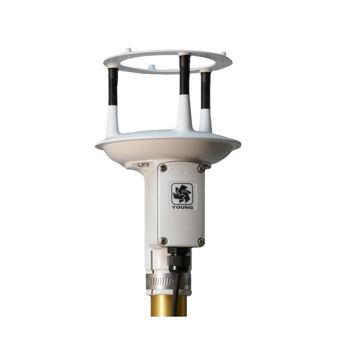
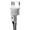
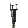
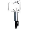
YOUNG ResponseONE Ultrasonic Anemometer
The YOUNG ResponseONE Ultrasonic Anemometer accurately measures wind speed and wind direction without moving parts.
Features
- Optional internal compass to for mobile applications
- Serial output formats include SDI-12, NMEA, and ASCII text
- Wiring connections are made in a convenient weatherproof junction box
Starting At
$1,124.01
Stock
Drop Ships From
Manufacturer
Fondriest Exclusives
- Free ground shipping
- Expedited repair and warranty service
- Lifetime technical support
- More
Overview
The YOUNG Model 915000 and 910000 ResponseONE Ultrasonic Anemometer is ideal for general meteorological applications requiring accurate and reliable measurements.
Durable
The IP66 rated construction enables reliable operation in severe environments. Each sensor is fully wind tunnel tested and calibrated to provide accurate wind measurement over a wide operating range. Standard serial output formats include SDI-12, NMEA, and ASCII text. Output may be continuous or polled to conserve power. Standard RS-232 or RS-485 serial formats enable direct integration with YOUNG displays, marine NMEA systems, data loggers or other compatible serial devices. The sensor mounts on a standard 1-inch IPS pipe. A mounting orientation ring is included that engages with the base of the sensor to retain orientation when the sensor is removed for maintenance. Terminations are made in a junction box at the base of the sensor by small clamp-style connectors (no special connectors are required).
Internal Compass
The YOUNG Model 91500 ResponseONE Ultrasonic Anemometer includes an internal compass to provide orientation for wind direction, making it ideal for mobile or portable applications.
Wind Speed:
Range: 0-70 m/s (156 mph)
Resolution: 0.01 m/s
Accuracy:
+/-2% or 0.3 m/s (0-30 m/s)
+/- 3% (30-70 m/s)
Wind Direction:
Azimuth Range: 0-360 degrees
Resolution: 0.1 degree
Accuracy: +/- 2 degrees
Electronic Compass (Models 91500 & 91500B):
Range: 0-360 degrees
Resolution: 1 degree
Accuracy: +/- 1.4 degrees
Serial Output (selectable):
Interface: RS-232, RS-485/422, SDI-12
Formats: NMEA, SDI-12, ASCII (polled or continuous)
Baud Rates: 1200, 4800, 9600, 19200, 38400
Power:
Voltage: 10-30 VDC
General:
Protection Class: IP66
EMC Compliance: FCC Class A digital device, IEC Standard 61326-1
Dimensions: 22.5 cm high x 13.5 cm wide
Weight: 0.36 kg (0.8 lb)
Shipping Weight: 1.27 kg (2.8 lb)
Operating Temperature: -40 to +60 C
Removable Bird Spikes: Included
Questions & Answers
Select Options
Products
0 Item Selected
Image
Part #
Description
Price
Stock
Quantity

91000
ResponseONE ultrasonic anemometer, white
$1,124.01
Drop Ships From
Manufacturer

91000B
ResponseONE ultrasonic anemometer, black
$1,124.01
Drop Ships From
Manufacturer

91500
ResponseONE ultrasonic anemometer with internal compass, white
$1,391.01
Drop Ships From
Manufacturer

91500B
ResponseONE ultrasonic anemometer with internal compass, black
$1,391.01
Drop Ships From
Manufacturer
Accessories
0 Item Selected


Notice: At least 1 product is not available to purchase online
Related Products
In The News


